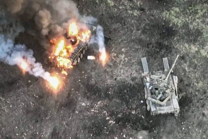
Google Maps upset Ukrainians' positions photos: Russians actively using snapshots.


Updated Google Maps photos 'revealed' the locations of Ukrainian military positions.
Head of the Center for Countering Disinformation (CPD) Andriy Kovalenko reported that updated Google Maps photos revealed the locations of Ukrainian military positions. He appealed to Google Maps to correct this situation, but received a response that it was impossible due to the weekend. Russians, in turn, are actively using these snapshots.
"Imagine the situation. Google posts updated images on maps showing the locations of our military systems. We asked them to quickly correct this, but they said they are off on weekends. Russians are already actively using these snapshots. What is wrong with this world?" - Kovalenko wrote.
After the public reaction, the head of CPD reported that he contacted Google representatives. They are already working on correcting the situation with snapshots of the locations of Ukrainian military systems.
"We will also discuss how to promptly resolve similar issues in the future," - Kovalenko added.
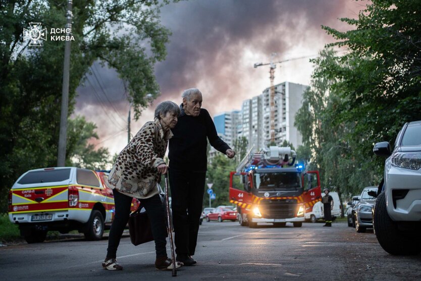
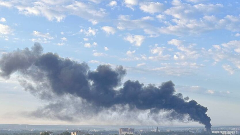
Reminder, Russia attacked Kyiv and the region with drones overnight.
Read also
- Trump announces negotiations with China regarding the TikTok deal
- Putin wants to go all the way and kill people: Trump commented on the conversation with Zelensky
- Enemy losses as of July 5, 2025 – General Staff of the Armed Forces of Ukraine
- The US is sabotaging Trump's peace plan: expert names the culprit in the Pentagon
- Ukraine Awaits a Summer of Ruthless Attacks: WSJ Reveals Putin's New Plan
- Response on 'Shahedi': The Armed Forces of Ukraine struck a key defense industry facility in the Moscow region